Maps
Mobile’s GIS department maintains several interactive web maps for the city’s planning and zoning.
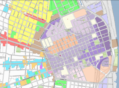
The zoning map shows the current zoning district designation for all parcels in the City.
The future land use map depicts the desired types, intensity and spatial arrangement of the City’s land uses to achieve the vision described in Map for Mobile. The land use designations are defined in the Future Land Use Plan (FLUP). The map provides guidance for evaluating proposed zoning map changes and development plans.
The Major Street Plan (MSP) pdf represents the City’s vision for a coordinated land use and transportation strategy. The MSP recognizes key existing and future street corridors within the City’s overall transportation network, based primarily on analyses of traffic volumes and character of traffic movements that could be generated by future development of land according to the FLUP.